Every facility manager knows the pain — a roof leak that could have been caught six months ago, a cracked foundation that went unnoticed during manual walkthroughs, an HVAC system running at 60% efficiency because nobody measured the duct deformation until it was too late. In 2026, 360-degree LiDAR robots are eliminating these blind spots by scanning entire buildings autonomously and feeding millimeter-accurate condition data directly into maintenance management platforms. Instead of relying on clipboard inspections, facility teams now deploy robots that capture point clouds of every wall, pipe, and piece of equipment — then let AI compare each scan against historical baselines to flag exactly what changed, where, and how urgently it needs attention. Schedule a free demo to see how Oxmaint converts robotic scan data into prioritized work orders for your facility team.
What Makes 360 LiDAR Robots Different from Traditional Facility Surveys
A human inspector walks a building and records observations based on training and experience. A LiDAR robot captures the physical reality of every surface within its 360-degree field of view — millions of measurement points per second — creating an objective, repeatable digital record that can be compared scan-over-scan to detect changes invisible to the human eye. This is not an incremental improvement over manual methods. It is a fundamentally different approach to understanding facility health.
Manual Survey Reality
!Inspector subjectivity varies from visit to visit
!8-12 hours for a single-floor commercial building
!No quantitative baseline for future comparison
!Safety risks in confined or elevated spaces
!Reports arrive days or weeks after inspection
30-40%of defects missed per assessment cycle
360 LiDAR Robot Scan
+Sub-millimeter repeatable measurements every pass
+Full facility scanned in autonomous patrol hours
+AI compares every scan against historical baselines
+Zero human exposure to hazardous zones
+Findings trigger CMMS work orders in real time
95%+defect detection with AI-powered analysis
Stop guessing about your facility's condition. Oxmaint centralizes robotic inspection data alongside work orders, asset records, and preventive maintenance schedules — giving your team one source of truth.
How Autonomous LiDAR Assessment Actually Works — Step by Step
Understanding the end-to-end workflow helps facility managers evaluate whether robotic assessment fits their operation and what infrastructure they need to support it. Here is what happens from the moment a robot leaves its charging dock to the moment a technician receives a work order.
Phase 1
Mission Deployment
The robot undocks from its autonomous charging station at a scheduled time. Fleet management software defines its patrol route, inspection zones, and which sensor payloads to activate. It navigates using SLAM — building or updating its spatial map in real time.
Phase 2
360-Degree Point Cloud Capture
The rotating LiDAR sensor fires thousands of laser pulses per second across its full field of view. Each pulse measures the distance to a surface with sub-millimeter precision. The result is a dense 3D point cloud — a digital replica of every wall, column, pipe, duct, and piece of equipment the robot encounters.
Phase 3
Multi-Sensor Fusion
LiDAR geometry is layered with data from thermal cameras (heat anomalies), acoustic sensors (air leaks, vibration), visual cameras (surface defects), and environmental monitors (humidity, temperature). This fusion catches problems that no single sensor could identify alone.
Phase 4
AI Condition Analysis
Machine learning models compare today's scan against previous baselines. They detect structural settling, corrosion progression, insulation gaps, equipment misalignment, and deformation patterns. Each finding gets classified by severity and tagged with precise coordinates.
Which 360 LiDAR Robots Are Facility Teams Actually Deploying in 2026
The market has matured enough that several proven platforms now serve the facility assessment use case. Each brings different strengths depending on building type, terrain complexity, and the depth of assessment your operation requires. Here is an honest look at the leading options.
Quadruped Robot
Boston Dynamics Spot with EAP2
LiDARVelodyne VLP-16, 360-degree FOV
Range100m detection, 4m base cameras
Runtime90 min active, auto-recharge
Payload14kg — supports thermal, acoustic, arm
The industry standard with 1,500+ units deployed across 35 countries. Spot navigates stairs, rough terrain, and confined spaces. Its Orbit fleet software manages autonomous patrols, collects spatially-tagged inspection data, and supports integration with maintenance platforms. Recent updates include 4K pan-tilt-zoom cameras, acoustic leak detection, and AI-powered gauge reading — all during autonomous missions.
Ruggedized Quadruped
Ghost Robotics Vision 60
LiDAR3D LiDAR with SLAM mapping
EnvironmentIP67, -45C to 55C, rain/snow/sand
Runtime3+ hours continuous walking
NavigationGPS + GPS-denied autonomous operation
Built for environments where other robots fail. The Vision 60 handles extreme temperatures, precipitation, and unstructured terrain while conducting facility patrols. Its field-replaceable legs minimize downtime, and blind-mode navigation lets it operate in complete darkness. Ideal for industrial plants, refineries, remote infrastructure, and outdoor campuses.
Mobile + LiDAR Payload
Emesent Hovermap on Spot
LiDAR300m range, survey-grade accuracy
PlatformGround robot, drone, handheld, vehicle
SLAMWorld-leading autonomous mapping
Scan ModeContinuous capture while moving
Maximizes LiDAR ROI by deploying a single Hovermap unit across multiple platforms. The 300-meter range captures massive facilities faster than shorter-range alternatives. Continuous scanning during movement eliminates stop-and-scan delays. Particularly strong for mining, large manufacturing, and campus-scale assessments where a single robot platform is insufficient.
Legged Inspector
ANYbotics ANYmal
LiDAR3D LiDAR + depth cameras
IntegrationAPI for CMMS, SCADA, DCS systems
SafetyATEX/IECEx rated for hazardous zones
SensorsThermal, acoustic, visual, gas detection
Purpose-built for industrial inspection with Ex-zone certification for hazardous environments. ANYmal autonomously reads gauges, detects thermal hotspots, identifies acoustic anomalies, and transmits inspection data through its API to maintenance platforms. Particularly suited for oil and gas, chemical, and power generation facilities where hazardous area compliance is mandatory.
Already deploying robots — or planning to? Oxmaint is the CMMS built to receive, organize, and act on robotic inspection data. Turn every scan into a trackable maintenance workflow.
What Can a LiDAR Robot Actually Detect in Your Facility
The value of a robotic scan depends entirely on what actionable maintenance intelligence it produces. LiDAR geometry combined with complementary sensors gives facility teams visibility into every major building system — not just structures, but mechanical, electrical, and environmental conditions that drive maintenance costs.
Structural Shifts and Settlement
Point cloud comparisons detect wall deflection, floor slope changes, column misalignment, and foundation settling as small as 0.5mm between scans — long before visible cracking appears.
Thermal Anomalies and Hot Spots
Infrared cameras paired with LiDAR geometry pinpoint overheating electrical panels, failed insulation zones, steam trap malfunctions, and HVAC heat loss with spatial coordinates for immediate repair.
Pipe and Duct Deformation
LiDAR profiles pipe geometry, support displacement, and duct cross-section changes. AI detects corrosion surface progression, sagging supports, and insulation gaps that indicate imminent mechanical failure.
Acoustic Leak and Vibration Detection
Ultrasonic and acoustic imagers detect compressed air leaks, bearing wear signatures, and abnormal equipment vibrations. Combined with LiDAR location data, technicians know exactly which valve or motor to service.
Fire Code and Safety Compliance
Automated measurement of exit path widths, sprinkler head positions, fire door clearances, and emergency equipment accessibility. Each scan produces audit-ready compliance documentation without manual verification.
Digital Twin Creation and Maintenance
Each scan builds and updates a facility digital twin — a living 3D model that maintenance teams explore for spatial context, plan equipment installations against as-built conditions, and track condition changes over time.
From Point Cloud to Work Order — Why CMMS Integration Is the Missing Piece
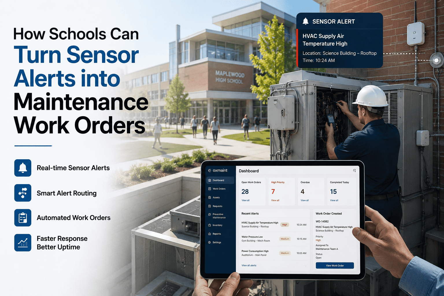
The most common failure in robotic inspection programs is not the robot — it is the gap between data capture and maintenance action. Scan data trapped in PDF reports or siloed software creates the same bottleneck that manual inspections do. The differentiator is seamless integration between the robot's fleet management platform and the CMMS where your technicians actually plan, assign, and complete work. Oxmaint is designed to bridge this gap — schedule a demo to see how scan findings become same-day work orders for your maintenance crew.
1
Robot Scans Facility
2
AI Classifies Findings
3
Data Flows to Oxmaint
4
Work Orders Created
5
Technician Resolves Issue
Auto Work Order Generation
AI-classified findings above severity thresholds create work orders in Oxmaint automatically — with location coordinates, supporting images, and priority assignments. Repairs start the same day data is captured.
Condition-Based PM Scheduling
Historical scan comparisons power predictive models that tell you when an asset will reach its maintenance threshold — shifting from fixed calendar intervals to data-driven scheduling that reduces unnecessary PM by up to 40%.
Asset Health Dashboards
Every scan updates the asset's condition record with timestamped data, building a longitudinal health profile. Facility managers see trending deterioration curves and budget for repairs before they become emergencies.
See the integration in action. Walk through how Oxmaint receives robotic scan data and converts it into your maintenance team's daily workflow — from work orders to completion tracking.
Measurable ROI from Robotic Facility Assessment Programs
Facility teams that have deployed LiDAR assessment programs report returns across four primary value streams — reduced inspection labor, earlier defect detection, extended asset life, and reduced emergency repair costs. The financial case strengthens with each scan cycle as baseline data compounds and AI models become more accurate.
Manual Inspection Labor Reduced
85%
Emergency Repairs Avoided
60%
Reporting Speed Improvement
70%
Asset Service Life Extended
45%
The real value of LiDAR assessment isn't the scan itself — it's the ability to compare today's condition against last month's, last quarter's, and last year's baselines with millimeter precision. That's how you move from reactive repairs to truly predictive facility maintenance.
— Facility Engineering Director, Commercial Real Estate Portfolio
What to Evaluate Before Choosing a LiDAR Assessment Robot
Not every robot suits every facility. Selecting the wrong platform wastes budget and produces incomplete data. Here are the six criteria that matter most — evaluated specifically for the facility condition assessment use case.
01
Terrain Compatibility
Multi-story buildings with stairs need quadruped (legged) robots. Single-level warehouses benefit from faster wheeled AMRs. Outdoor campuses with mixed terrain require all-weather, all-surface mobility. Match the robot's locomotion to your facility's actual layout.
02
LiDAR Range and Point Density
100m range sensors suit most enclosed facilities. Large open spaces (warehouses, hangars, outdoor infrastructure) need 300m+. Higher point density catches smaller defects — but generates larger datasets that require more processing power and storage.
03
Sensor Payload Flexibility
LiDAR captures geometry. For comprehensive condition assessment, you need modular payload mounts that accept thermal cameras, acoustic imagers, gas detectors, and moisture sensors. Locked payloads limit future assessment expansion.
Full autonomy means the robot navigates, scans, avoids obstacles, and returns to dock without human help. Look for 90+ minute active runtime, self-docking charge stations, and scheduled mission capabilities for off-hours assessments.
06
Environmental and Hazard Certification
Industrial facilities require IP67 weatherproofing and wide temperature tolerances. Hazardous areas (oil and gas, chemical plants) need ATEX or IECEx certification. Verify ratings match your facility's actual operating conditions before procurement.
Turn Every LiDAR Scan Into a Maintenance Win
Whether you already run inspection robots or you're evaluating your first deployment, Oxmaint is the CMMS platform that connects robotic assessment data to real maintenance outcomes. Automated work orders, asset health tracking, predictive scheduling, and compliance documentation — all from one platform your entire team can use.
How does LiDAR robot data integrate with a CMMS like Oxmaint?
LiDAR robots export assessment data through APIs and fleet management platforms like Boston Dynamics Orbit or ANYbotics software. Oxmaint receives this data and automatically generates prioritized work orders, updates asset condition records, and triggers preventive maintenance schedules based on configurable severity thresholds. Sign up for Oxmaint to experience automated inspection-to-work-order integration with your facility data.
Which facilities benefit most from autonomous LiDAR condition assessment?
Large commercial buildings, manufacturing plants, data centers, warehouses, hospitals, and campus-style portfolios see the strongest returns. Any facility with significant physical infrastructure that requires regular condition monitoring benefits from the repeatable precision, safety improvement, and speed of autonomous LiDAR assessment.
Can LiDAR robots fully replace human facility inspectors?
Robots excel at data capture, baseline comparison, and routine patrol. Human expertise remains critical for interpreting complex findings, making repair-or-replace decisions, and managing situations requiring judgment. The most effective programs combine robotic data collection with human analysis — schedule a demo to see how Oxmaint connects robot findings with your technicians' daily tasks.
How often should robotic LiDAR assessments be scheduled?
Most facility teams run monthly comprehensive scans with weekly targeted patrols of critical assets. Because the robot operates autonomously, increasing frequency adds minimal marginal cost. Higher scan frequency builds denser baseline datasets that make AI anomaly detection dramatically more accurate over time.
What does a LiDAR inspection robot cost and when does ROI arrive?
Wheeled platforms with LiDAR start near $25,000. Full-featured quadrupeds with comprehensive sensor suites range from $75,000 to $250,000 depending on configuration and hazardous-area certifications. Most facility teams achieve payback within 12 to 18 months through reduced inspection labor, earlier defect detection, and avoided emergency repairs.